July 31, 2024
Rae Lakes Loop Trip Report, July 2024
The Rae Lakes area is reputed to offer some of the finest splendor in the high Sierra. I like loop trips, and also splendor, and as of recently, backpacking, so I gave this one a go. In July 2024 I ventured the Rae Lakes loop as a 4 day, 3 night solo backpacking trip.
There a few approaches. One can start at Onion Valley on the east side of the range in Inyo National Forest and go over Kearsarge Pass. Or on the west side at Road’s End, in King’s Canyon, heading either clockwise (starting north from Road’s End up Wood’s Creek) or counterclockwise (starting east up Bubbs Creek). Clockwise means days of steady climbing, followed by a sharp descent. Counterclockwise is the opposite. The only permit I could find on short notice was for Bubbs Creek, so counterclockwise it was. And, yep, that first day is pretty tough!
I originally planned to car camp the night before at Convict Flat, because Sentinel Campground — the only one currently operational in Cedar Grove after damage from recent heavy winters — was fully booked. But Recreation.gov availability alerts came through and I was able to snag a spot the week before my trip. Cancelations right before the refund deadline are evidently common.
Drove up on Wednesday, through Fresno and the foothills into the park, back down on Hwy 180, past the overlook of the confluence of the Middle and South forks of the King’s River, to Cedar Grove. Convict Flat looked like a decent but not great option, and pretty far from Road’s End, so I was glad to have the Sentinel reservation.
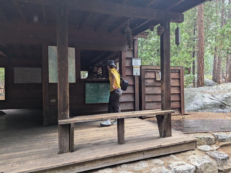
After a brief dialogue with the ranger at the permit station — “Do you have a bear canister? Do you have satellite comms? Do you promise not to press the SOS button if you’re not in mortal danger?” — I was issued my paper permit. He seemed weary from delivering the same spiel over and over, but I suspect there’s no substitute for having a human authority figure give it.
I ambled around the facilities in Cedar Grove, checked out the hotel, the snack bar, and the exhibits in the visitor center. Some car tourists asked the ranger “how far can we go east?” and learned about Road’s End. It struck me that for them, beyond there might as well not exist. I felt lucky to be able to go farther.
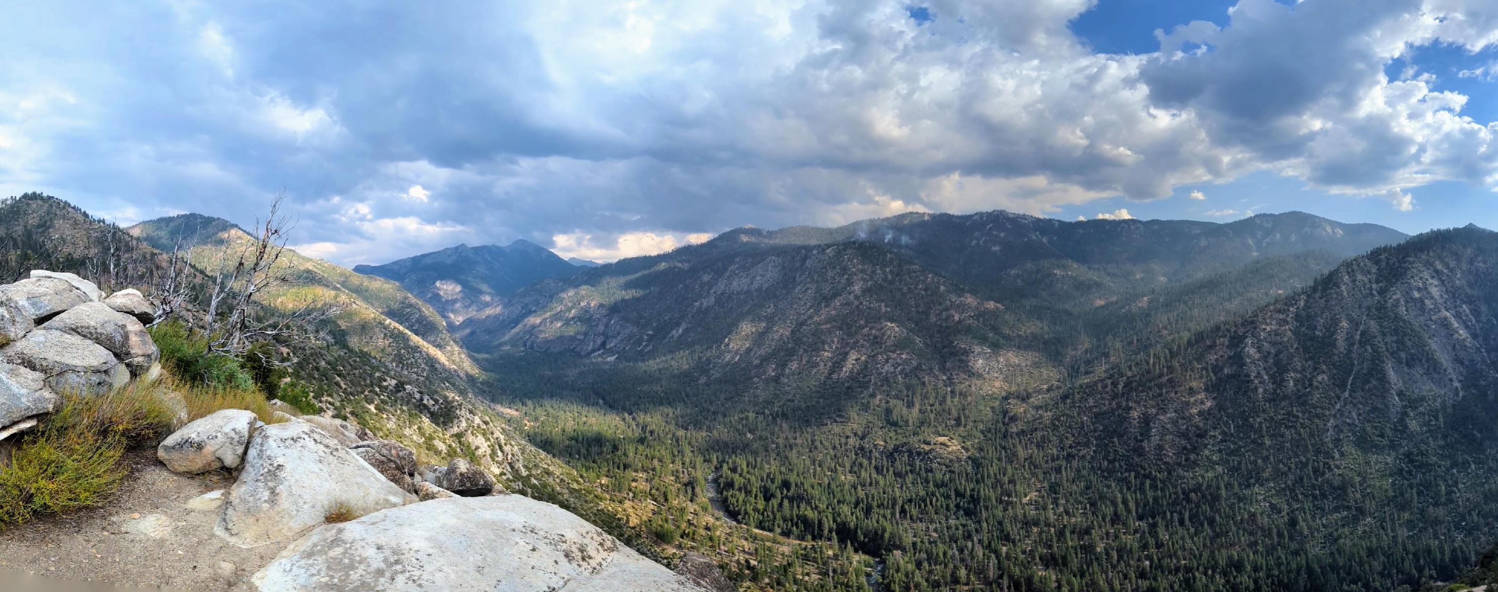
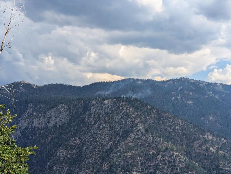
I find the National Park vibes to mesh awkwardly with their adjacent wildernesses. So I took a short day hike up Hotel Creek to get away from the RV crowd and off the canyon floor for a better view. Startled some quail, saw smoke from a smoldering lightning-strike fire in the distance. Confirmed that Cedar Grove smells like cedar. Then spent a humid tent night at the uncomfortably populous campground, and early on Thursday morning drove back to Road’s End, packed up, and set out.
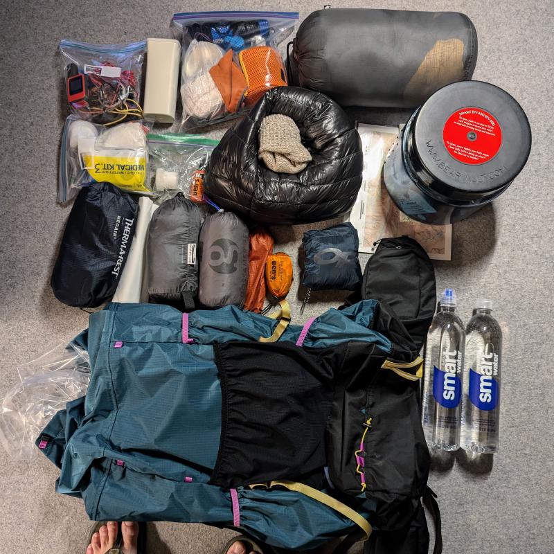
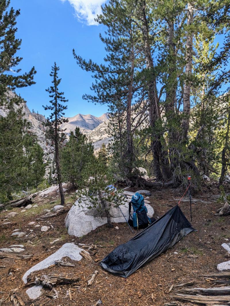
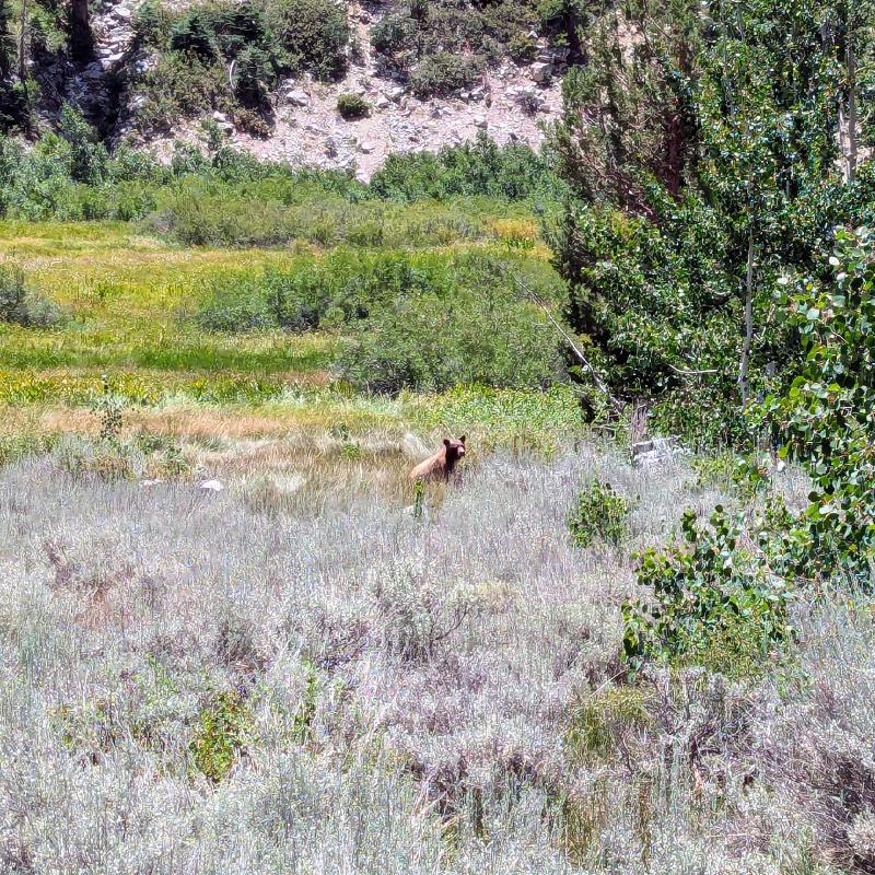
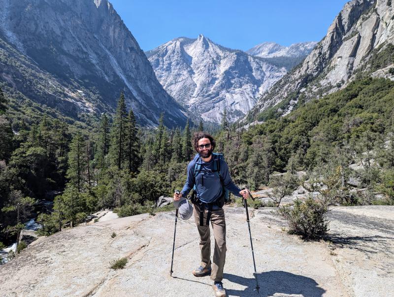
I moved fast, appreciating the fruits of my recent pack-lightening gear upgrades. Down to 12.4 pound base weight, and tentless this time; just a tarp and bivy, as the savvy hikers recommend. Even the first few miles of this hike offer spectacular vistas around every bend. Not too far up Bubbs Creek, I passed a trail crew, one of whom called my attention to a bear just north of the trail, ambling along, “doing bear stuff.” My first bear sighting, as it happens. I had somehow not yet seen one on my previous trips. Can confirm: they are quite charismatic fauna. And nice to see my first one doing good healthy bear stuff, snuffling at berries and whatnot, rather than unhealthy campground picnic basket stuff.
A thought, crossing paths with hikers going the opposite way: here are two complete mental cosmoses glancing off each other and continuing in opposite directions. Being up in the mountains, especially in the meditative frame I was cultivating — trying to be simply and barely aware of each thought — the mind seams seem to loosen. Easier to imagine simply swapping minds completely with a passerby, or a bear, or a hummingbird, or a lizard. Who’s to say we don’t?
A few miles west of Vidette Meadow, I came across a couple young Canadians walking west, in some distress. Mapless, they asked me for help orienting themselves. They had come down from Forester Pass, after parting ways with their friends who were continuing to Whitney, and were aiming to catch a bus in Onion Valley later that day. They’d gone quite awry from Onion Valley. I showed them where we were on my Harrison map, and helped them deliberate: continue west to Road’s End and take their chances with transportation (hitchhiking, presumably), or backtrack up (and up and up) to Kearsarge? They chose east. Walked 20 feet. Then turned around, too demoralized to backtrack. “Just pretend your trip started this very minute,” I suggested. I hope they made it to Road’s End, and LA.
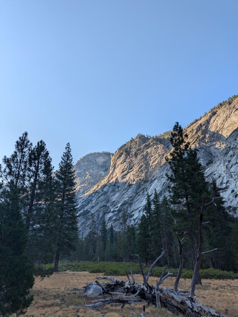
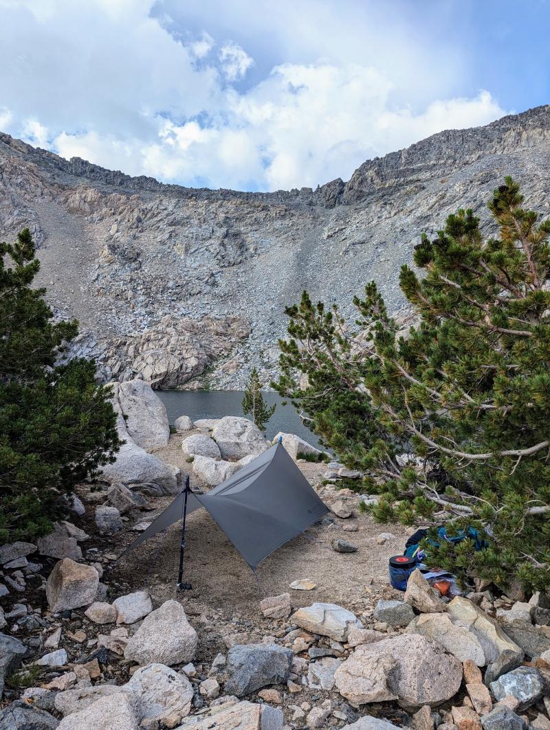
I continued east, past Vidette Meadow, then turned north, up and up. Seeing faces in the rock faces, slightly delirious from the elevation and exertion. More stunning views. A Schubert impromptu on a loop in the brain. After 12 hours of walking, under raindrops that thankfully stayed sparse, I arrived and set up camp right below Glen Pass. First time under a tarp out there, I struggled with the sleep system setup and slept fitfully, rockfall echoing periodically through the cirque.
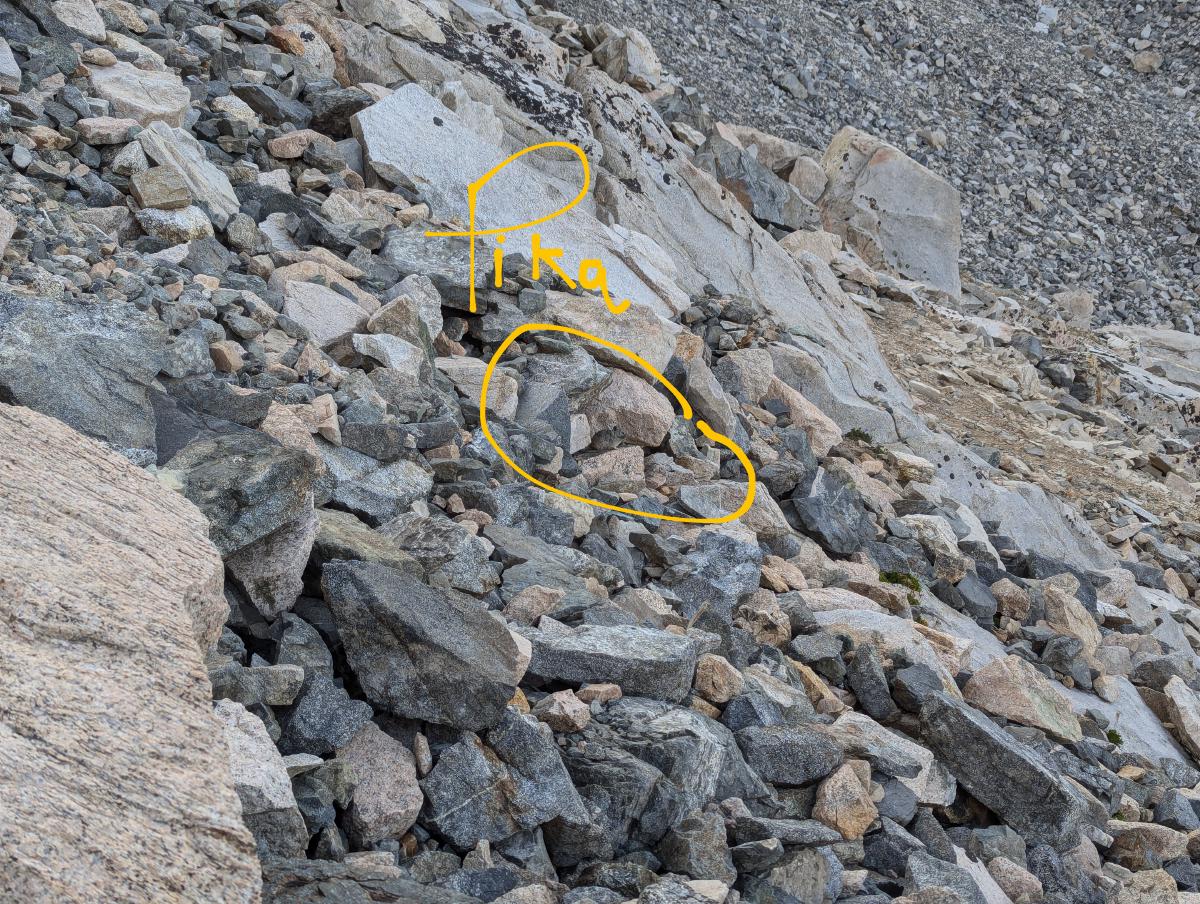
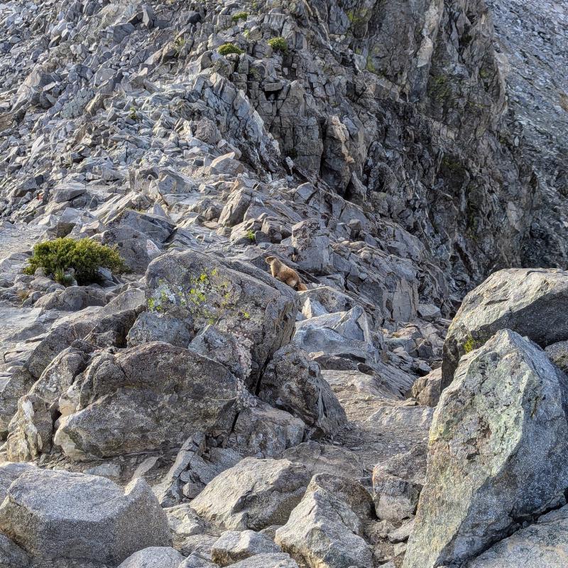
Friday morning, awake early. I’d been apprehensive about Glen Pass, but as it turned out, I’d already ascended most of the way, so the last segment was steep but short. Merlin failed to identify the chirps I heard among the rocks. Turns out they were mammally chirps, not birdly ones. Pikas! Very well camouflaged little guys. A marmot greeted me at the apex, then scurried north down the talus.
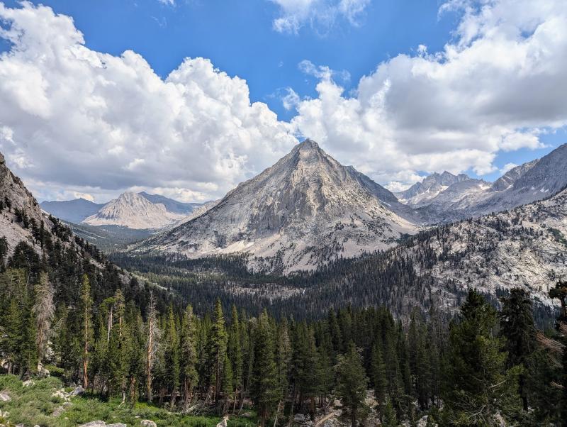
Continuing into the Rae Lakes basin and an embarrassment of splendor, a few times I consulted my Caltopo maps thinking, “Wow, what’s that peak?”, only to find it too unremarkable to name. “Peak 3820,” or whatever. My friend Chris Boone advised me that the basins adjacent to the Rae Lakes are just as spectacular, and often deserted, so I headed west into 60 Lakes Basin to explore off the trail. Advice confirmed; it’s gorgeous over there — meadows, lakes, lots of luminous white quartz strewn about.
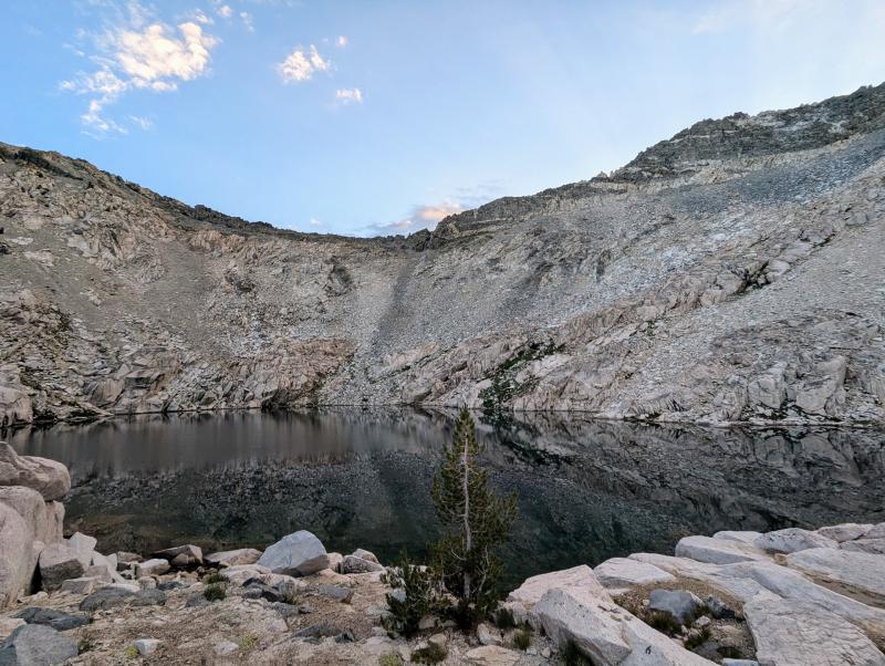
I attempted to traverse Sixty Lakes Col over into Gardiner Basin, but the route I took isn’t the standard Class 2 route, and I got stuck after scrambling up a too-steep chute looking out at a boulder field I didn’t feel inclined to cross. Lessons learned: buy the Secor book, plan these crossings a little more carefully, and don’t assume that the absence of steep slope means crossable terrain. After a somewhat hairy descent, I took a cold plunge in the lake at 11,434 and had lunch. Then wandered north through the basin, and soon saw the correct approach to the Col, on the west side of that lake. Too tired to attempt it. Maybe next time.
Instead, an easier off-trail pass, through Basin Notch. The west slope, very easy indeed, a stroll. But steeper, descending the east side, legs a little gelatinous. Soon safely down, to a good tree-sheltered campsite. Clear skies, so just the bivy, no tarp. And now with the pad straps sorted out [it is in fact a whole system — pad, strap, quilt, bivy, tarp], and trekking pole tie-out to elevate the bivy over my face, I slept soundly. Ask me again after a good storm and I may have a different answer, but for now, I’m pretty sold on ditching the tent.
Saturday morning, awoken by a hummingbird. Lots of them on this trip, feeding on penstemon. Breakfasting, another nature-drunk hiker passed through. We exchanged some intel about the pass. Interesting, this trail culture, information shared freely, quite an ancient tradition for human travelers, I imagine.
Making my way back to the JMT using the just the maps now, trying not to use the phone GPS as a crutch. Better this way, and more satisfying, to simply abide the discomfort of not knowing for sure, and letting wits and senses work it out. To Dollar Lake and then down, down, down. Thinking, I must have done this much elevation on Thursday, but it seems distant now. How did I manage it? Many tired hikers traipsing clockwise.
A surprising thought occurs to me: in keeping with intent to treat the entire trip as a meditation retreat, I’m witnessing more-or-less all of my thoughts. And the physical sensations, pleasant and unpleasant. The sights and sounds. A rich tapestry. But then start to wonder, “is this everything, all there is? Kinda disappointing!” Just another thought, soon dissolving like all of them.
I passed a hiker, nice guy, doing the whole JMT, who warned me about a section to come with trail obscured by treefall. “Stay to the right,” he said. Did he mean my right, going north? Or his, going south? I guessed that the had translated for me, knowing he might not have. I stayed to my right, and after 10 minutes of bushwhacking and tree scrambling, it became clear — his right, my left. “Stay to the right,” from someone going the opposite direction, without careful clarification, gives no information at all! So I got a little banged up, and feet wet, but got to see some cool trout for my trouble. Not a bad deal. Also, with quick-drying trail running shoes instead of heavy boots, stream crossings are much less of a pain.
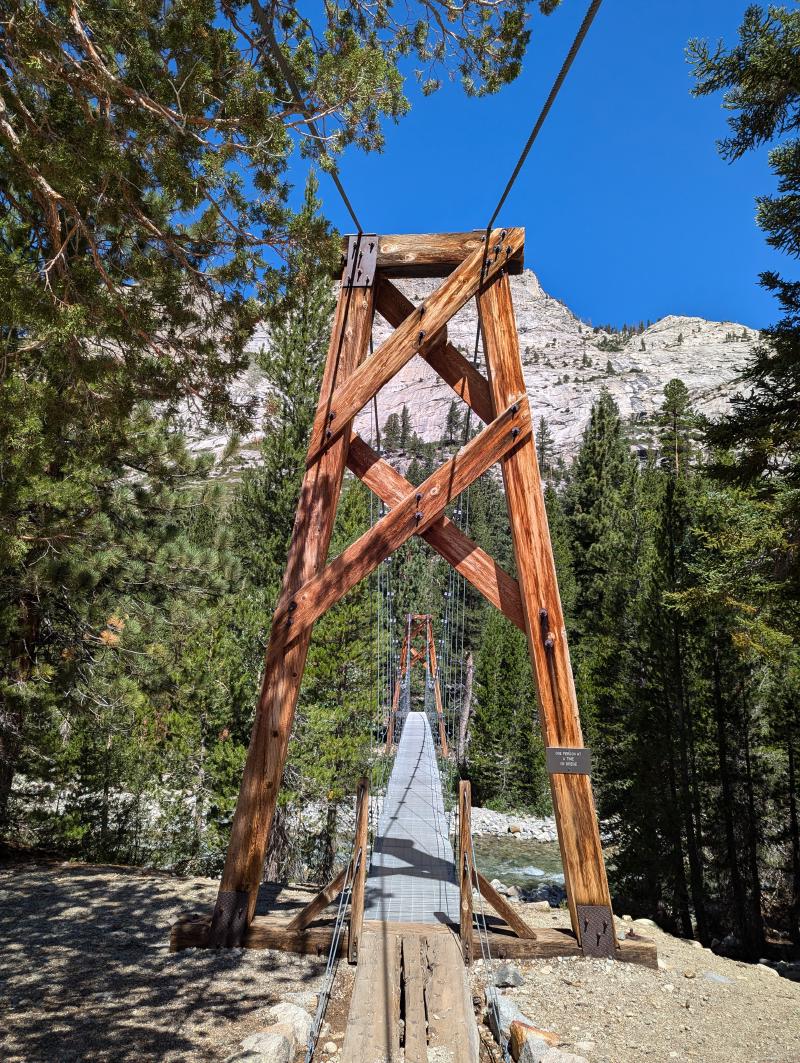
An impressive moraine. A splendid meadow. Another bear. Doing more bear stuff, gorging on berries. Then a hot tired slog for while. The suspension bridge, an impressive feet of engineering and construction, out in the wilderness. Reflecting again on how much labor and effort is required to even slightly tame the wilderness and make it accessible to us mortals.
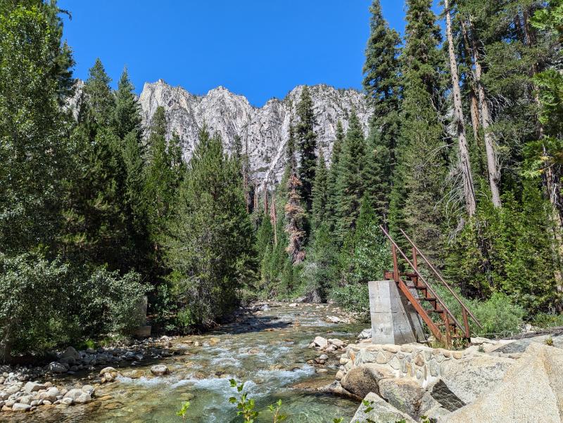
Eventually, to Arrow Creek, where the bridge is out. Another creek crossing, easy enough. Gently suggested to a pair of hikers that they’d be better to leave their boots on for the crossing; too slippery otherwise, better to get boots wet than sprain an ankle. They did not heed my advice. I still think of myself as a novice at this, but I’m starting to know a thing or two. Walked north a bit and found a good campsite, and redirected two lost hikers walking blindly north into Muro Blanco, having missed their turn to the east over the creek.
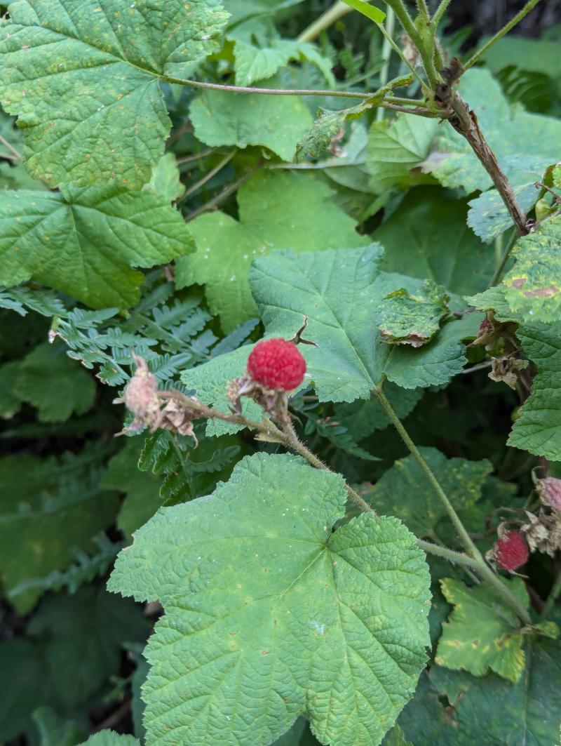
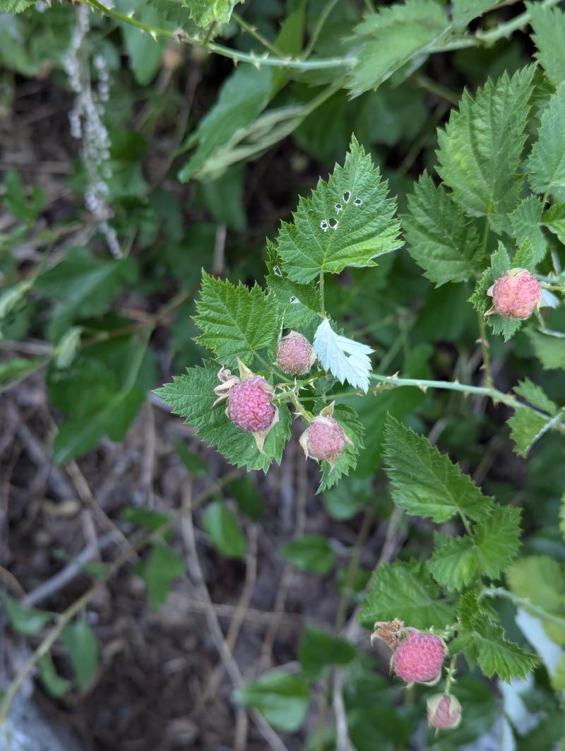
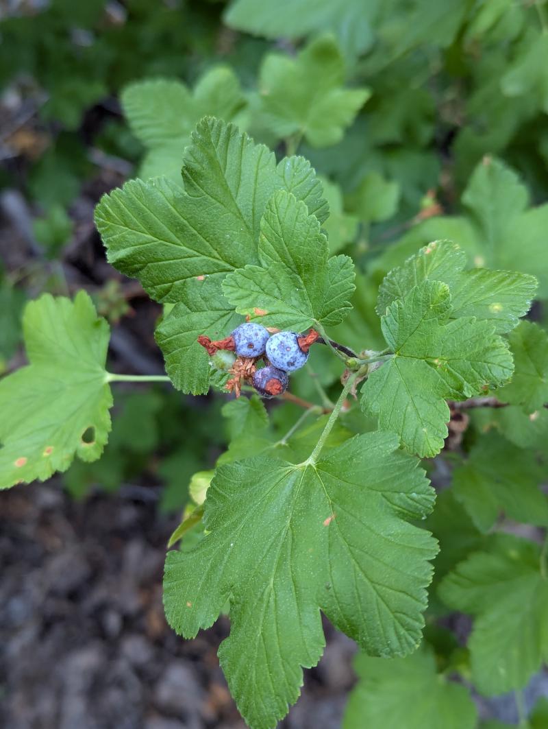
Sunday, an easy walk down Paradise Valley, past gorgeous falls, snacking occasionally on thimbleberries, raspberries, and Sierra currants. Back to Road’s End, completing the loop. On the drive back to Oakland, already thinking about the next trip.
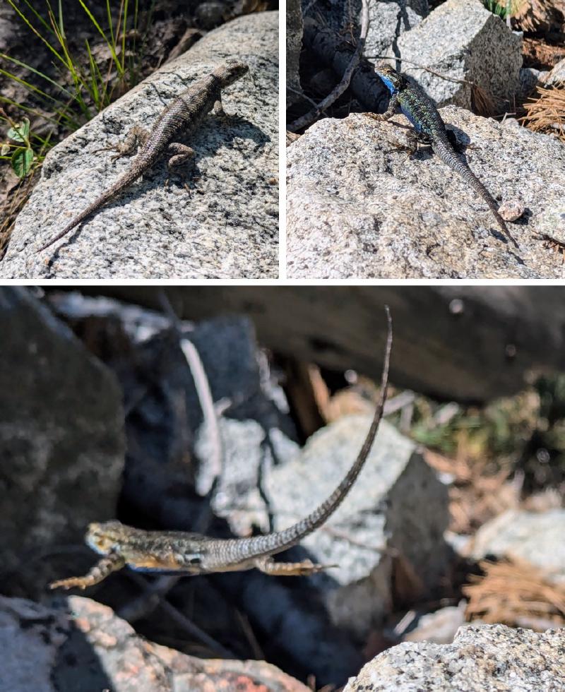
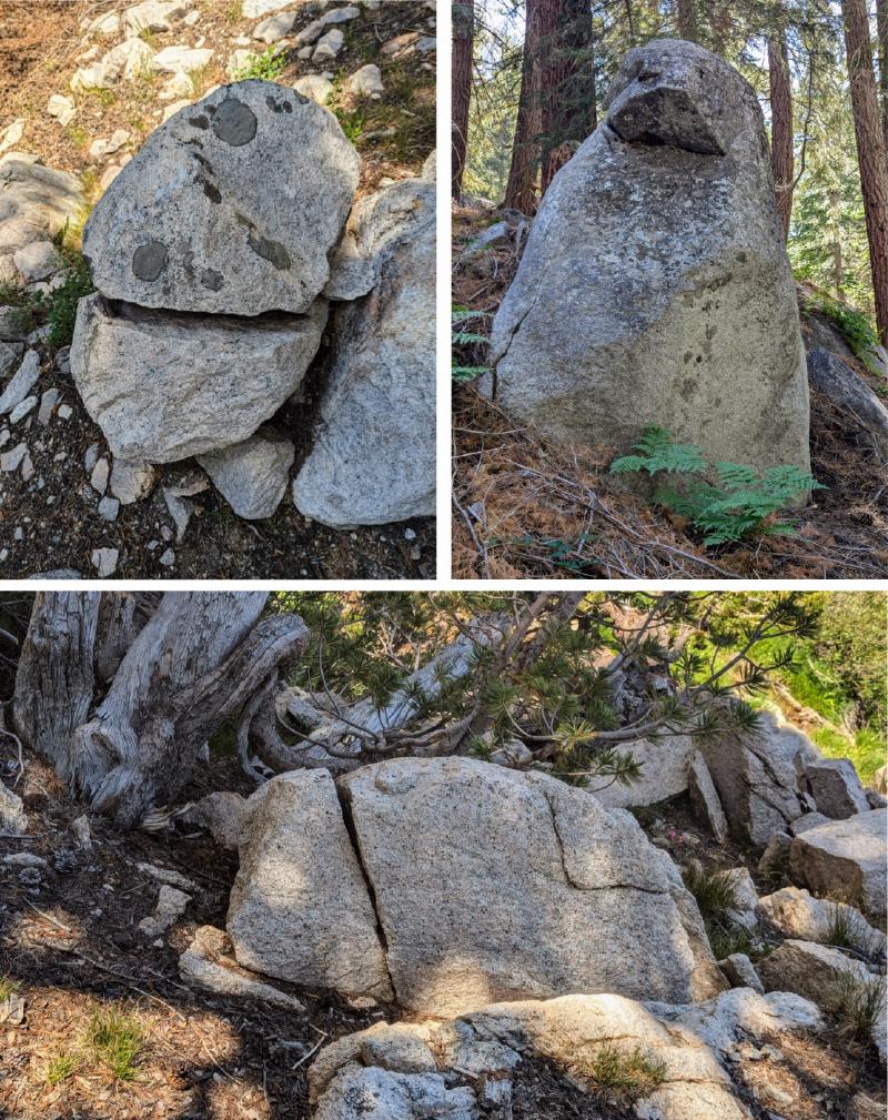
Gallery